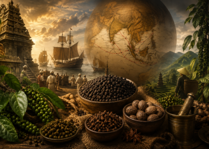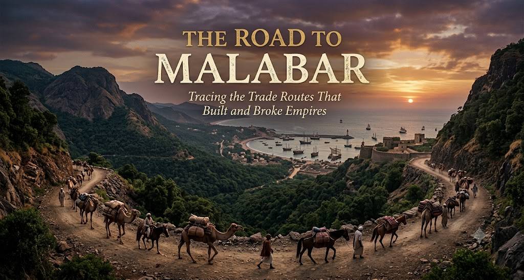
There is a version of history where the spice is the hero. Pepper corns and cinnamon bark cross oceans, empires rise to meet them, and the story ends with a shipload of black gold docking in Lisbon harbor. It’s a good story. It’s also the wrong one.
The spice was never the point. The spice was cargo — inert, interchangeable, waiting to be carried. What actually built and broke empires was the road itself: the physical corridor a merchant, a caravan, or a captain had to use to get pepper from a hillside in Malabar to a kitchen in Venice. Whoever held the road held the toll booth. Whoever held the toll booth held the century.
This is the story of that road — how it was built overland, how it was shut down, how a Portuguese captain found a way around it, and how, once found, that new route was fortified into something closer to an empire than a trade path. The spices are almost incidental. The road is everything.
Act One: The Original Roads (Overland and Hybrid Trade Routes)
Long before a single Portuguese caravel entered the Indian Ocean, there were already two working roads between Malabar and the Mediterranean world, and they had been running for over a thousand years.
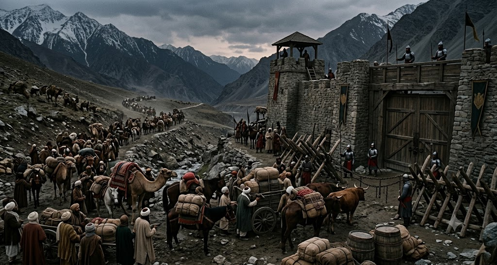
The first was overland — a punishing, multi-stage corridor through the mountain passes of the northwest. Goods moved out of the Indian subcontinent through the Khyber Pass and the Bolan Pass, the two great gateways in the mountain wall separating India from the Iranian plateau. From there, caravans pushed on through Persia, joining larger networks that eventually fed into the Levant and, from there, the ports of the eastern Mediterranean. This was slow, expensive, and dangerous — bandits, tolls at every principality, and terrain that made travel seasonal at best. But it worked, and it had worked for centuries, moving not just spices but silk, gemstones, and ideas along the way.
The second road was a hybrid — and in many ways the more elegant of the two. This was the maritime-overland route that used the monsoon winds of the Arabian Sea. Sailors had learned to read the seasonal reversal of these winds with remarkable precision: one set of winds carried ships from India’s west coast toward the Arabian Peninsula and the Persian Gulf, and the opposite set, months later, carried them back. Cargo landed at ports feeding the Persian Gulf or the Red Sea, and from there it transferred to camel caravans for the final overland leg into Mediterranean hub cities, where Italian merchant houses were waiting to buy.
What’s worth sitting with here is how intentional this infrastructure was. The monsoon route wasn’t a lucky accident of geography — it required generations of accumulated knowledge about wind timing, ship design suited to open-ocean sailing rather than coastal hugging, and a chain of ports and caravanserais that had to stay politically stable enough to keep functioning. The overland route required treaties, protection payments, and relationships with every khanate and sultanate the caravan passed through. These weren’t just supply chains. They were built infrastructure, as real and as fought-over as any highway system, and control of them was already, a thousand years before Vasco da Gama, the actual prize.
Sidebar: More Than Cargo
It’s worth a brief detour here, because the road carried more than goods. These same maritime and overland corridors that moved pepper westward also moved people, and with them, ideas. Arab traders sailing the monsoon routes brought Islam to India’s Malabar Coast as early as the 7th century — remarkably early in the religion’s history, arriving via the same sea lanes that carried cardamom and ginger. The Cheraman Juma Mosque, in present-day Kerala, is traditionally regarded as one of the oldest mosques in the Indian subcontinent, a physical marker of how a trade route, over time, becomes a cultural one. The road didn’t just carry cargo manifests. It carried entire belief systems, and left buildings behind to prove it.
Act Two: When the Roads Closed (The Historical Pressure Point)
Trade routes rarely fail from natural causes. They fail because someone with power decides to close them, tax them into irrelevance, or seize the choke point that makes the whole system function. That’s exactly what happened to the old overland corridor in the 15th century, and it happened in two stages.
The first was political and sudden: in 1453, Ottoman forces captured Constantinople, ending the Byzantine Empire and, with it, Christian Europe’s direct overland gateway into Asian trade networks. Constantinople had functioned for centuries as a hinge city — the place where the overland routes from Persia and the Silk Road met the Mediterranean world. With the Ottomans in control of that hinge, European merchants no longer had unmediated access to it. This didn’t mean trade stopped entirely — the Ottomans were pragmatic rulers with every incentive to keep commerce flowing, since taxing it was profitable. But it meant every good moving west now passed through Ottoman territory on Ottoman terms.
The second pressure was commercial and slower-burning: the merchant republics of Venice and Genoa had, over the preceding centuries, built a near-monopoly on the final leg of spice distribution into Europe. Venetian ships collected goods at eastern Mediterranean ports and controlled their onward sale into European markets, and Venice guarded this position jealously. By the time a sack of pepper reached a buyer in Antwerp or London, its price reflected not just the cost of the journey from Malabar, but every toll paid to Ottoman authorities along the way and every markup added by the Venetian merchants who controlled the last mile.
The result was a route that technically still worked, but had become an expensive bottleneck controlled at both ends by powers with no particular interest in lowering the price. And this is the pivot point the whole story turns on: nations facing a closed or extortionate road don’t simply stop trading. They start looking for a different road — even if that road doesn’t exist yet, even if finding it means sailing off the edge of every known map. Portugal, sitting on the Atlantic edge of Europe with no land route to Asia at all, had the most obvious motive of any European power to go looking.
Act Three: The New Route Is Found (Portugal’s Sea Passage)
The search for an alternative to the Ottoman-Venetian bottleneck took decades, and it moved in increments down the West African coast before anyone knew whether it would work at all.
The breakthrough came in 1488, when the Portuguese navigator Bartolomeu Dias rounded the southern tip of Africa — the point that would become known as the Cape of Good Hope — and proved, for the first time, that the Atlantic and Indian Oceans were connected by open water. This was the single most important geographic discovery in the entire story, because it meant a ship could, in principle, sail from Europe to Asia without ever touching Ottoman or Venetian-controlled territory. It converted the problem from “how do we negotiate a better price on the existing road” into “what if there is no toll booth at all.”
It took another decade to turn that proof of concept into a working trade route. In 1498, Vasco da Gama completed the journey, landing at Kappad, near Calicut, on India’s Malabar Coast — guided in the final stretch, by most historical accounts, with the help of a local pilot familiar with the Indian Ocean’s sailing patterns. Da Gama’s fleet reached the source of the spice trade directly, by sea, with no overland leg, no Ottoman customs house, and no Venetian middleman anywhere in the chain.
The significance of this route can’t be overstated, and it’s worth being precise about what exactly changed. This wasn’t a faster version of the old road. It was a structurally different road that happened to arrive at a similar destination. Every toll, every tax, every markup baked into the overland-and-monsoon system for a thousand years simply didn’t apply to a ship sailing around the Cape. Portugal hadn’t found a shortcut. It had found an entirely new map, one where it held every position of leverage that the Ottomans and Venetians had held on the old one.
Act Four: The Route Becomes an Empire (Portuguese Control of the Sea Lanes)
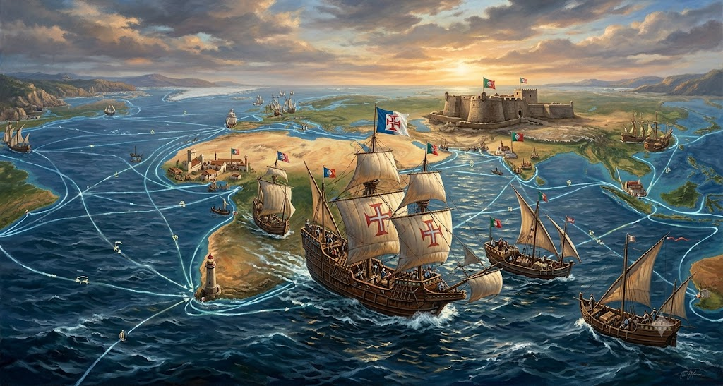
Here is the part of the story that the phrase “Age of Discovery” tends to obscure: finding a route is not the same as controlling it, and Portugal understood immediately that a discovery left undefended was just information anyone else could act on. So the fourth act isn’t about exploration at all. It’s about fortification.
Portugal moved quickly to convert its new sea lane into a chain of physically held positions. In 1503, a Portuguese fort was established at Cochin, on the Malabar Coast, giving Portugal a permanent, defensible foothold at the source end of the spice trade rather than a series of one-off trading visits. The more decisive move came in 1510, when Afonso de Albuquerque captured Goa, which would go on to serve as the administrative and military capital of Portuguese possessions in Asia for the better part of the next four and a half centuries. Goa wasn’t just a trading post — it was a naval base, a shipyard, and a seat of government, the infrastructure needed to project force across the entire sea lane rather than simply trade along it.
Fortresses alone don’t create a monopoly, though — they only secure specific points on a map. What actually turned the sea route into something closer to an empire was a licensing mechanism: the Cartaz system, introduced in the early 1500s. In practice, this meant that any non-Portuguese vessel wishing to trade in the Indian Ocean was required to purchase a Portuguese-issued pass, the cartaz, declaring its cargo, route, and destination. Holding a valid cartaz granted a ship immunity from seizure by Portuguese patrols, while noncompliance could mean interception, confiscation of cargo, capture of the vessel, or worse. The system was policed by Portuguese naval patrols stationed at chokepoints throughout the ocean, and it was backed by a genuine military and technological edge — Portuguese ships carried more advanced weaponry than the traditional Arab, Persian, and Indian merchant vessels they now controlled, and Portugal wasn’t shy about using force to enforce compliance.
The genius and the brutality of the cartaz system were the same thing: Portugal did not need to physically control every ship or every port in the Indian Ocean to dominate its trade. It only needed to control the idea of legitimate passage — and enforce that idea often enough, violently enough, that everyone else found it cheaper to pay than to resist. The pass itself was issued at relatively low cost and offered real protection against piracy and rival states, which made compliance genuinely attractive on top of being coerced — a combination that made the system durable in a way pure violence alone could not have. This is, in miniature, exactly what had happened to Portugal at the hands of the Ottomans and Venetians a few generations earlier, and now the tables had turned entirely. The road had become the toll booth. The toll booth had become an empire.
Routes Are Power
Step back from the individual dates and captains, and the pattern of this entire story is remarkably consistent. It isn’t a story about spices, and it isn’t even really a story about India, Portugal, or the Ottomans specifically. It’s a story about what happens to power when it attaches itself to a physical corridor.
The overland route through the Khyber and Bolan passes was infrastructure, and whoever taxed it profited from every grain of cardamom that passed through. The monsoon route across the Arabian Sea was infrastructure, built from generations of accumulated maritime knowledge, and whoever controlled its endpoints controlled the trade. When the Ottomans took Constantinople and the Venetians tightened their grip on Mediterranean distribution, they weren’t attacking spices — they were seizing a chokepoint on someone else’s road. And when Portugal responded by sailing around the entire problem, discovering the Cape route and then fortifying Cochin, taking Goa, and institutionalizing control through the cartaz, it wasn’t building a trading company. It was building a road with a permanent tollbooth, and calling that tollbooth an empire.
That’s the throughline worth carrying forward: routes are power. Not goods, not even gold — the physical and institutional control over how things move from one place to another. Whoever holds the road holds the trade. Whoever holds the trade holds the century.
Portugal held this particular road for roughly a hundred years. It would not hold it forever. The same logic that drove Portugal to go looking for a new route once the old one became too expensive would eventually turn against Portugal itself, as new powers — better financed, more aggressively organized — went looking for cracks in the Portuguese monopoly and found them.
Next time: how the Dutch and British built new roads around Portugal’s — and inherited the empire that came with them.